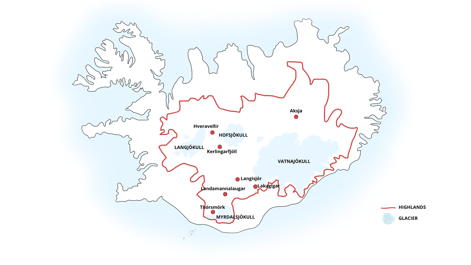
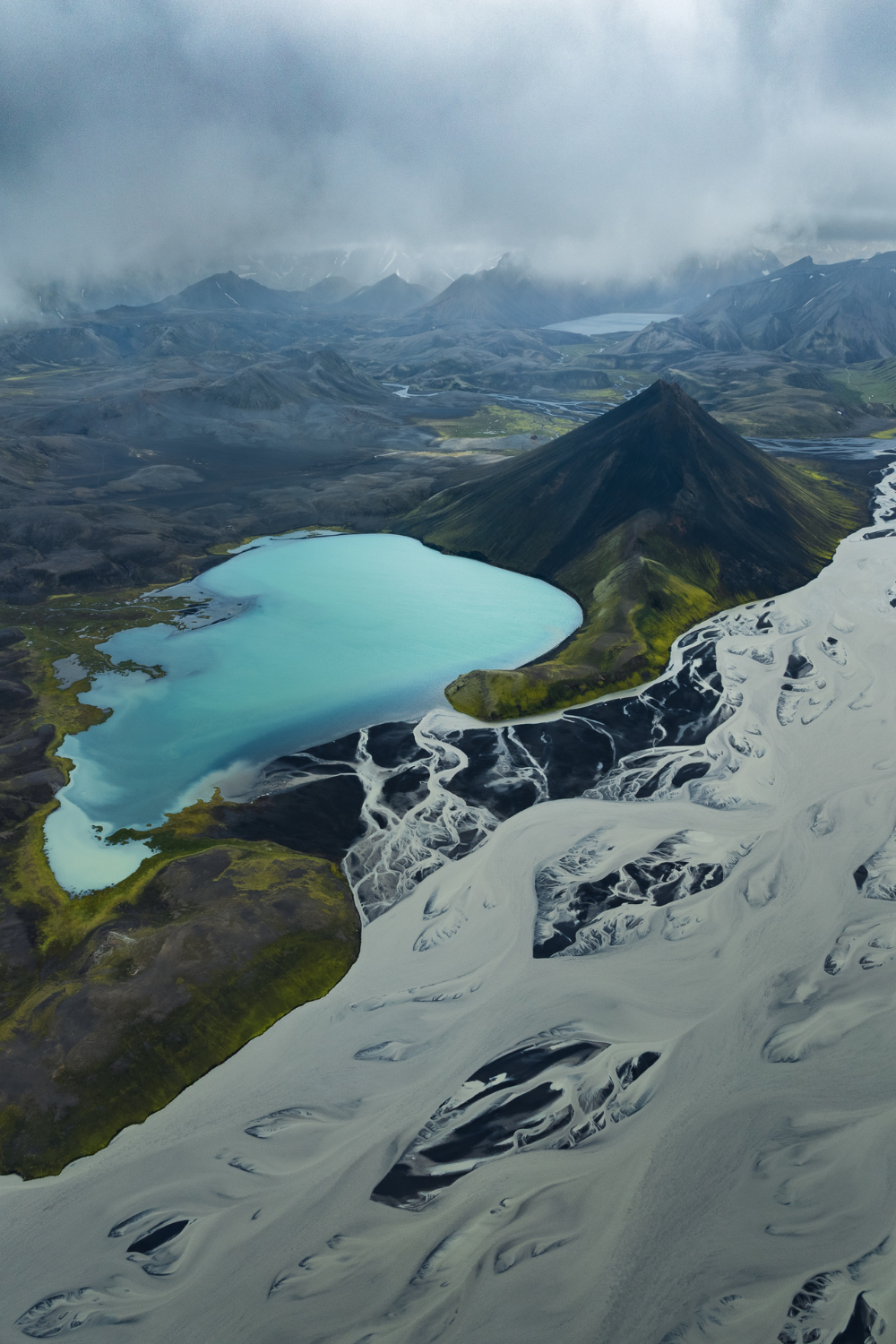
When I was planning the posts I wanted to write when I started my blog, this was the one I was most excited to start. Simply because the Highlands are among my favorite places in Iceland! There’s the Iceland everyone knows, the south coast, the Golden Circle, Reykjavik, and then there’s the other Iceland, the one in the center, inaccessible for most of the year, with no paved roads, no gas stations, and not much cell service. It’s called the Highlands, or Miðhálendi in Icelandic. This area accounts for about 40% of the country’s total land area, and it is inhabited by exactly ✨zero people✨ on a permanent basis. It is one of Europe’s last great wilderness areas, and it is (I say this without the slightest hesitation) the most extraordinary part of the island.
The Highlands are only accessible in the summer, generally from mid-June to mid-September, and only with a 4×4. This isn’t a recommendation, it’s a legal requirement : driving on F-roads in a standard vehicle is prohibited in Iceland and can result in hefty fines. The good news is that this natural constraint protects these fragile areas and limits visitor numbers, which often guarantees you experiences of rare solitude and intensity, being alone in extraordinary landscapes.
In this article, I’ll share the places in Iceland’s Highlands that left the biggest impression on me, but you can find all these spots and many more hidden gems on my interactive map of Iceland.
What you need to know before visiting the Highlands
Before we even get into the spots, here’s some practical information that can make the difference between a great adventure and a really bad day :
🚗 A 4×4 is mandatory : not “optional,” not “highly recommended,” just mandatory. Some F-roads include fords to cross, miles of gravel and potholes, and sections where an ordinary car would get stuck within the first five minutes. Rent a real 4×4 with good ground clearance. I’m heading out to Iceland this summer in my Nissan Micra, it’s unthinkable for me to take it into the Highlands, even though I put it through hell in France and neighboring countries. I’ll rent a 4×4 like everyone else 😅
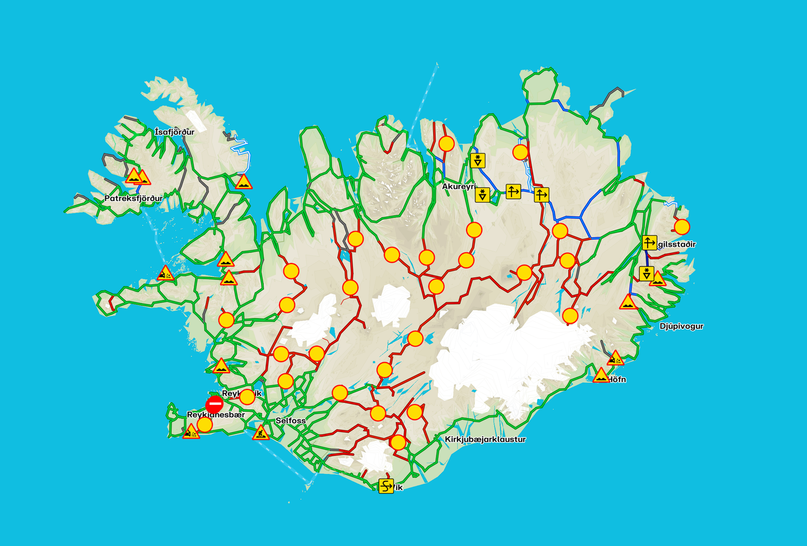
🛣️ Check the roads before you go : road.is is your best friend. F-roads open and close depending on the weather and snowmelt conditions and the dates vary each year. Some F-roads remain closed until July in some summers. If the road is marked in red, it’s closed. Some even have barriers, so there’s no point in driving several miles only to have to turn around at the entrance 😉
⛽️ Fill up your tank before you go : there are no gas stations in the Highlands, zero, nada, niet. Not a single gas station for hundreds of miles around. Fill up before you enter, and bring water, food, and a warm jacket, even in the summer. If, like me, you don’t want to end up with an empty tank in the middle of the Highlands and having to choose between asking friends to drive 200km round-trip to bring me a jerrycan or paying 3500€ for roadside assistance, fill up (and yes, it happens even to “experienced” people).
🔐 Register your itinerary : before heading out to the Highlands, register your route on safetravel.is. You’ll need to provide your basic information and the details of your itinerary. If something goes wrong, emergency services will know where to look for you. In theory, you won’t need it since you’re bound to come across a few cars along the way, BUT you never know.
Landmannalaugar : the rainbow mountains
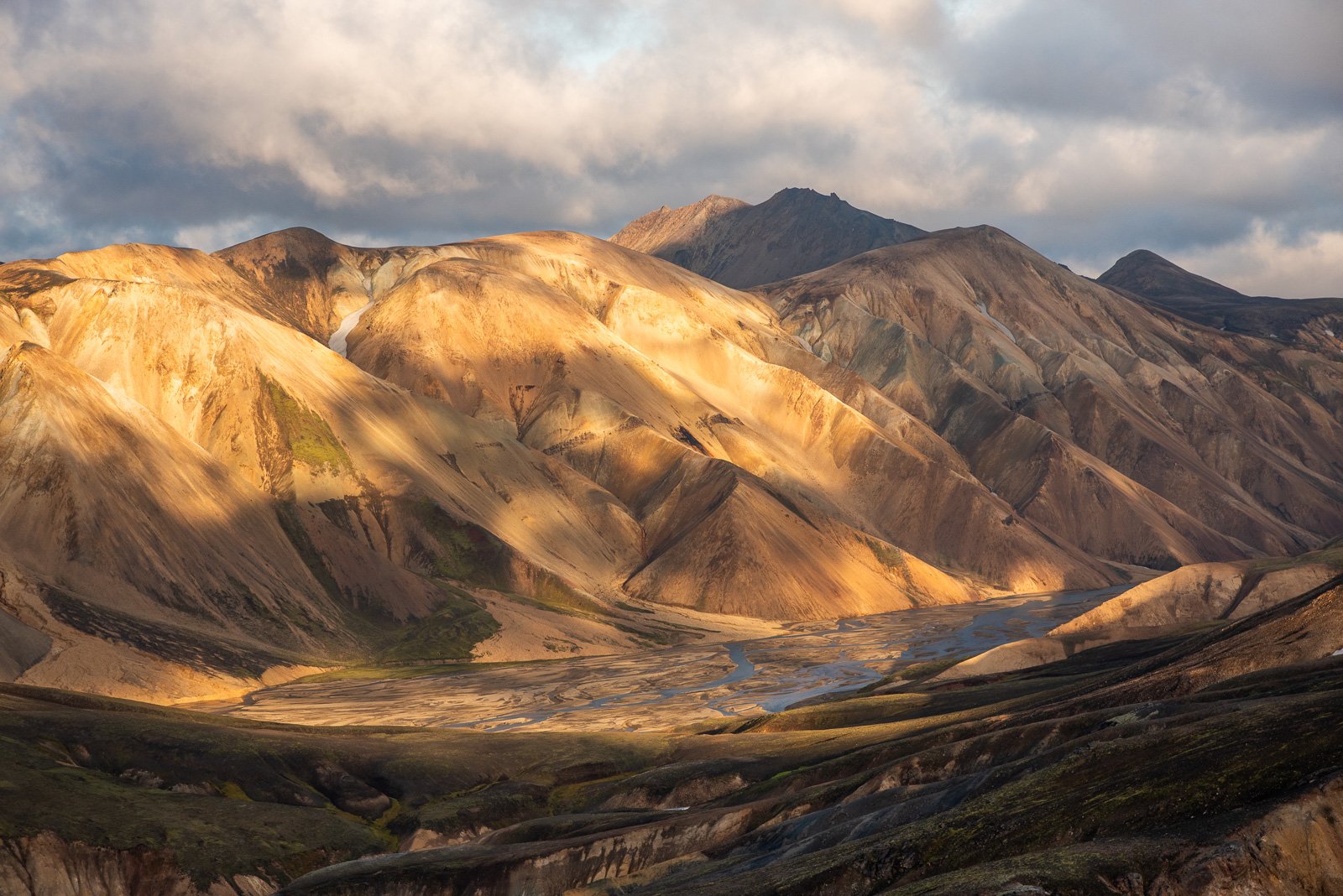
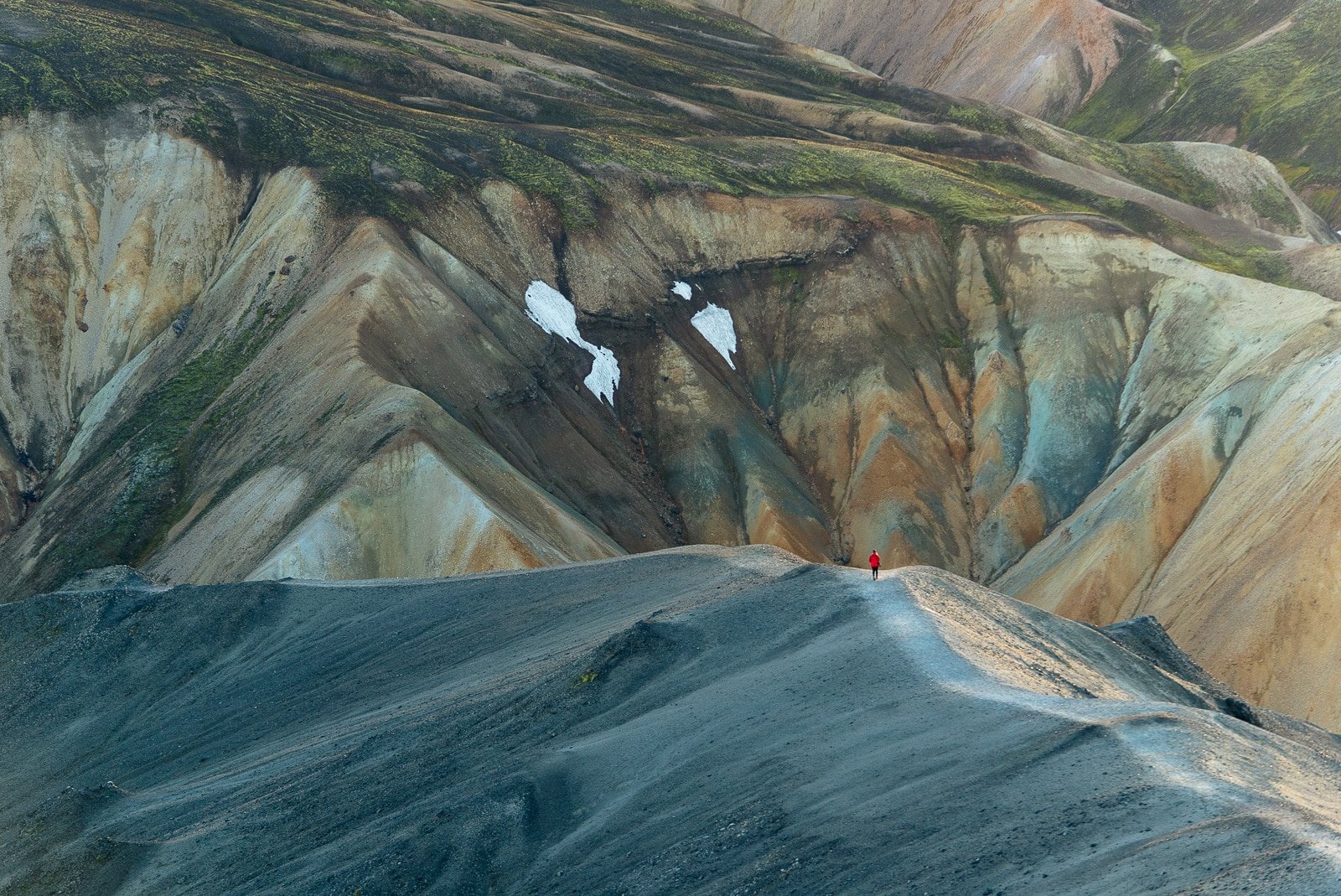
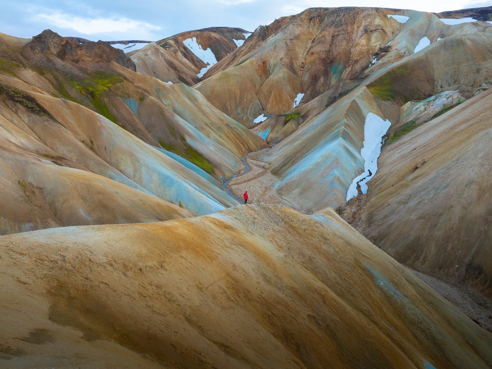
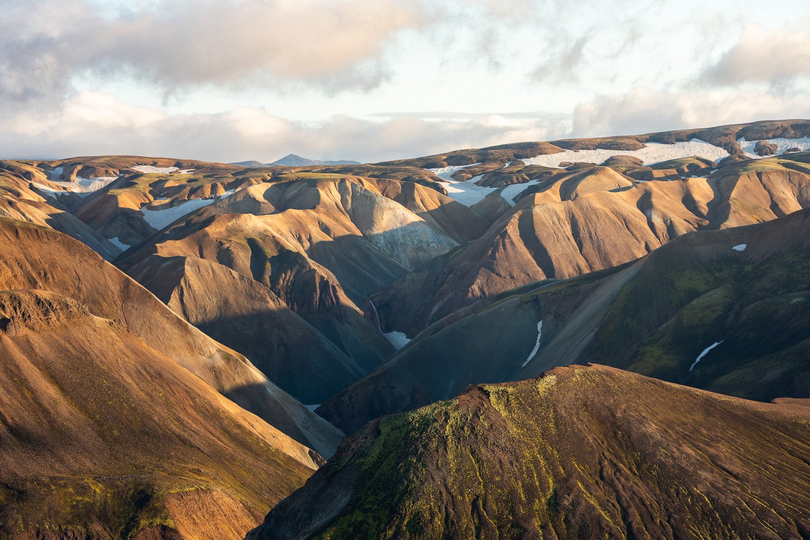
It is the most famous site in the Highlands and also the most accessible for first-time visitors, and it certainly lives up to its reputation. Landmannalaugar, whose name literally means “the people’s hot springs” is a volcanic site of breathtaking beauty. The surrounding rhyolite mountains shimmer in shades of green, red, orange, yellow, blue, and gray, an avalanche of surreal colors, as if a unicorn had decided to vomit its snack onto the jagged peaks.
🚗 Access : via road 208 north (it lost its “F” designation a few years ago, but it’s still a road that requires a 4×4), road F225 (a few fords to cross), or road F208 South (many fords to cross). 4×4 required. Camping and lodging available on-site (reservation required) and parking at Landmannalaugar (reservation required if arriving between 9AM and 4PM from June 20th to September 13th, 1000ISK). From Reykjavík, you can take day trips to Landmannalaugar in the summer.
🥾 You’ll find a natural free hot spring right next to the campground where you can take a dip after your hikes, trails for all levels, and the starting point for the Laugavegur trek (55km to Þórsmörk in 3 to 5 days), considered one of the most beautiful hiking routes in the world. You’ll be blown away by the views from the car, so just imagine what it’s like on the trail 😉

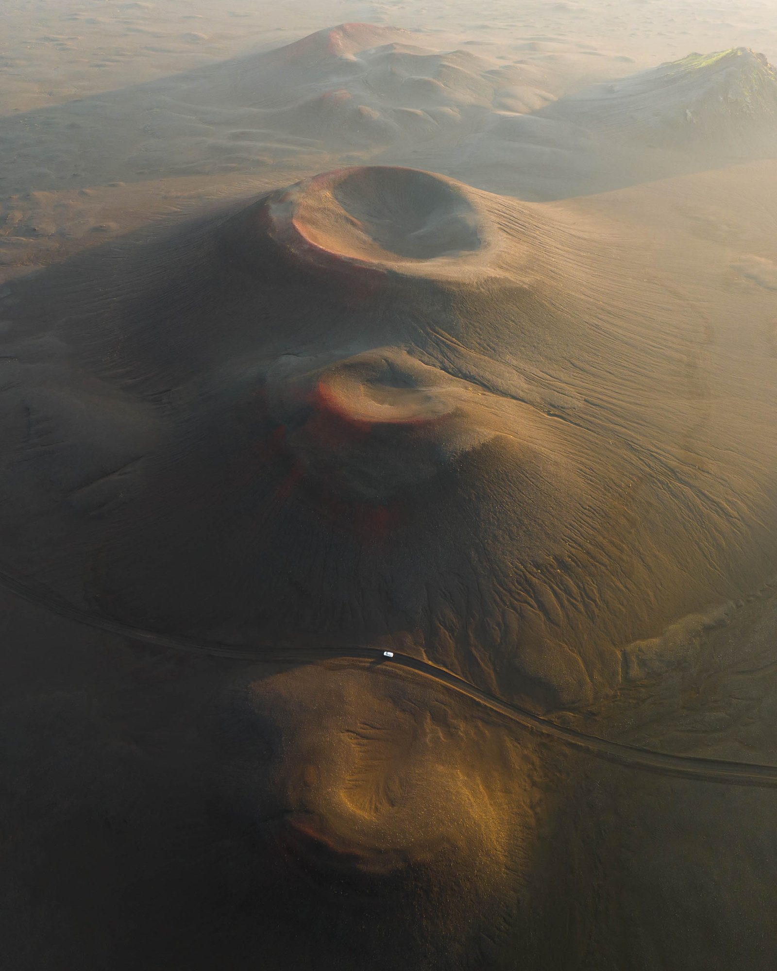
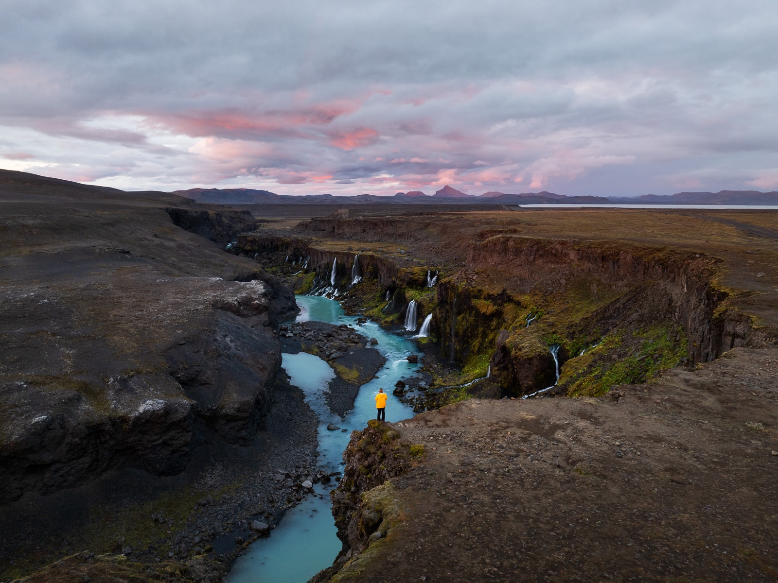
Some iconic spots in and around Landmannalaugar :
- Bláhnúkur : “the blue mountain,” a 4/5-hour loop with a 360° view from the summit
- Brennisteinsalda : a volcano with spectacular colors and fumaroles
- Ljótipollur : a crater lake with blue waters surrounded by red volcanic cliffs
- Bláhylur : beautiful lake surrounded by bright green craters, on the way to Landmannalaugar
- Sigöldugljúfur : also known as “the valley of tears,” it is in my opinion one of the canyons with the most beautiful waterfalls in Iceland
👉 On my first trip to Landmannalaugar in 2022, I wanted to hike Bláhnúkur. It was our very first trip together with my partner Matthias, so we weren’t quite on the same page yet, and we both thought the other had brought water for the hike. We set off around 6PM. After hiking to the summit of Bláhnúkur (incredible view), we decided to continue the loop back to the campground. We lingered quite a bit because the light was beautiful, but when it came time to cross the river and head into the lava field, we couldn’t find the markers that showed the way. A storm was forecast for 2AM, but we could already see the sky darkening and rumbling.
Night fell, and I had a panic attack, a real one, where I couldn’t breathe or move. We decided to retrace our steps for safety, obviously in the rain, in the dark, and without water. We arrived at the Landma shelter around 12:30AM. Hence the importance of registering on safetravel.is, because we were literally 2km from the campground, but no one knew where we were, and mountain storms right in the middle of the Highlands are no laughing matter. In short, a terrifying experience, but one that taught me a valuable lesson 🥲
Þórsmörk : Thor’s valley
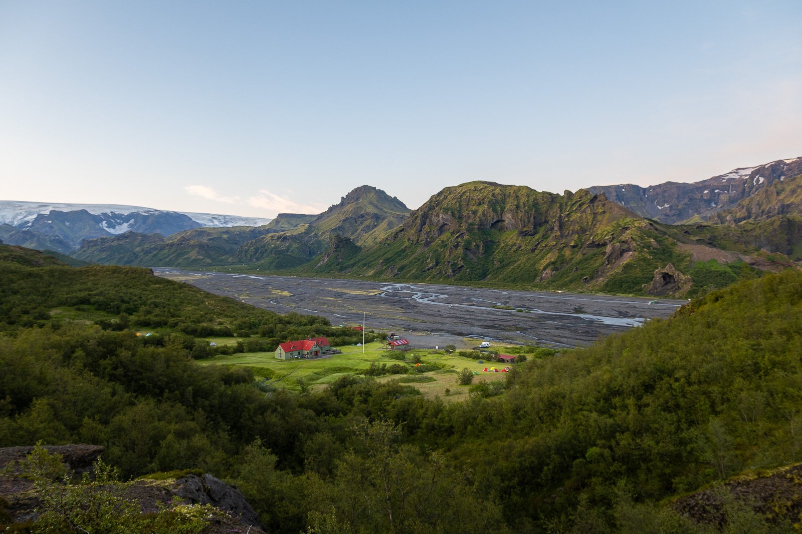
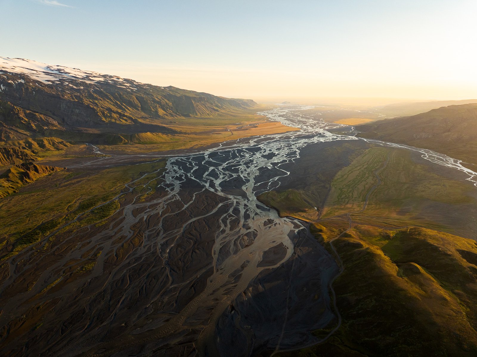
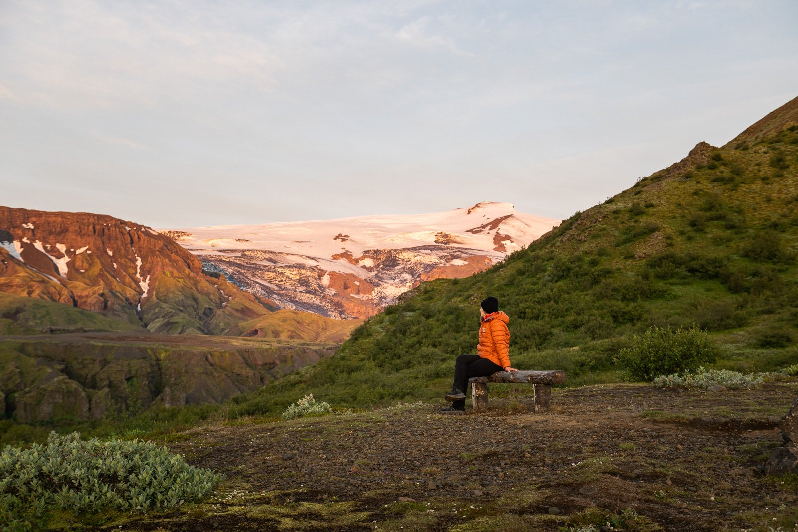
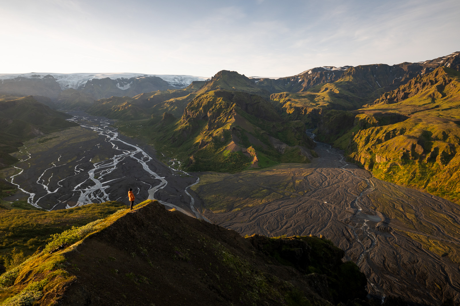
Þórsmörk, which means “Thor’s Forest” (no less!), is one of those places whose beauty is hard to describe because it’s unlike any other region in Iceland. Nestled between three glaciers (Eyjafjallajökull, Mýrdalsjökull, and Tindafjallajökull), the valley is a living paradox : here you can see braided rivers winding for miles across black sand, mountains covered in green moss and forests of small birch trees. It’s pretty surprising to see trees in Iceland, but I found it very refreshing!
This area is less touristy than Landmannalaugar because it’s harder to reach, but for that very reason, it has a wilder and more intimate atmosphere. It’s the endpoint of the Laugavegur trail and the starting point of the Fimmvörðuháls trail to Skógafoss, a 25-km hike that crosses the lava flows created by the 2010 eruption of Eyjafjallajökull, which I really hope to do in summer 2027.
🚗 Access : via road F249, which includes several fords to cross, some of which are 60-80cm deep depending on conditions. A 4×4 vehicle with very high ground clearance is required and it’s really best if you have crossed at least several other rivers before risking this one. Accommodations are available on-site (book here). Several companies offer day trips to Þórsmörk in the summer.
👉 When I went to Þórsmörk in July 2026, I was with some friends and I fell asleep like a log in the back seat just before we turned onto the F249 because I really pushed myself during that trip. I woke up right in Þórsmörk surrounded by trees, it’s pretty disorienting but really cool. We went on a beautiful night hike, the Valahnúkur trail. We were alone on the path and the light was incredible! I fell asleep again on the way back, so I didn’t see the river crossings, but it was pretty bumpy 😆
Kerlingarfjöll : the geothermal mountains
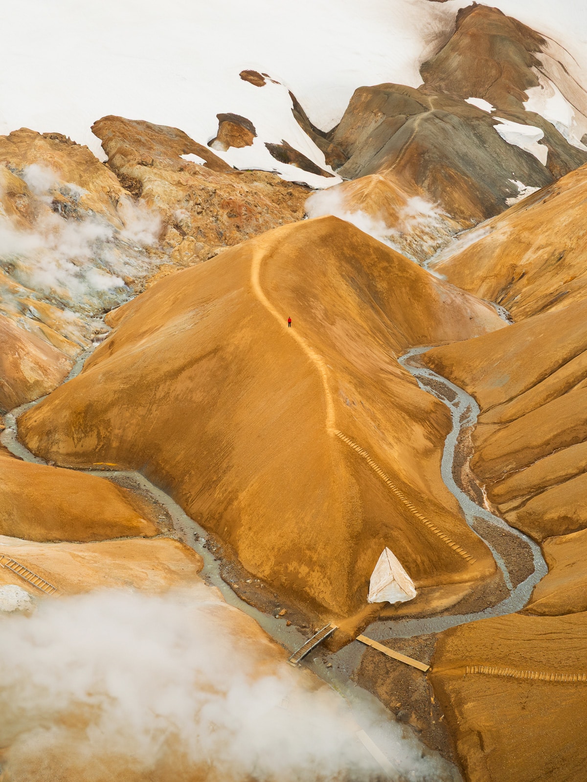
Kerlingarfjöll is a volcanic massif located between the Hofsjökull and Langjökull glaciers in the Central Highlands. The name means “the mountains of the old woman” in Icelandic, because according to legend, there is a “kerling” (an old woman or an ogress) petrified by the side of the F347 road, at the foot of Kerlingarfjöll – you can see the rock while driving before arriving to Kerlingarfjöll.
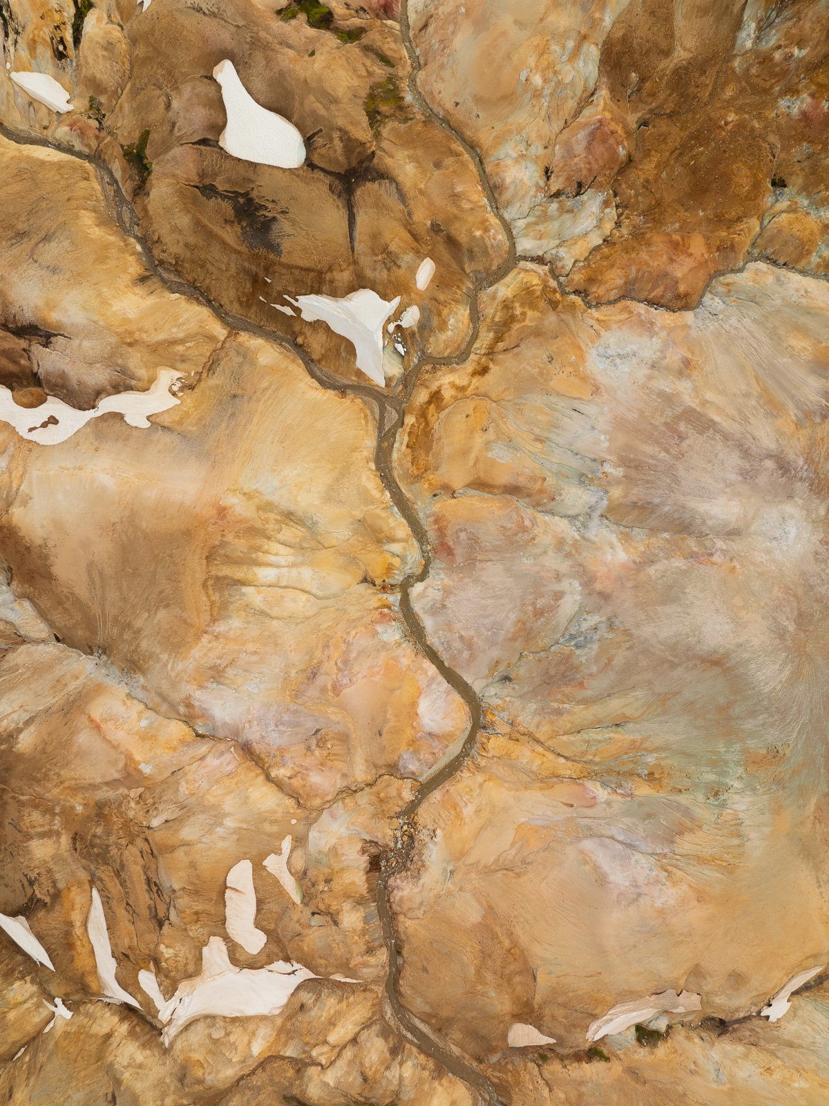
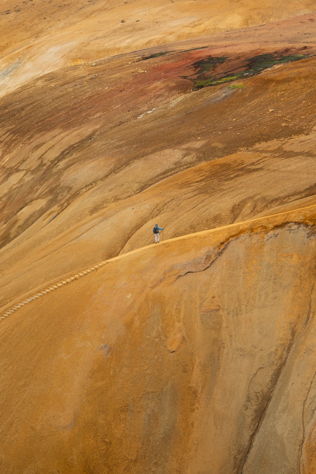
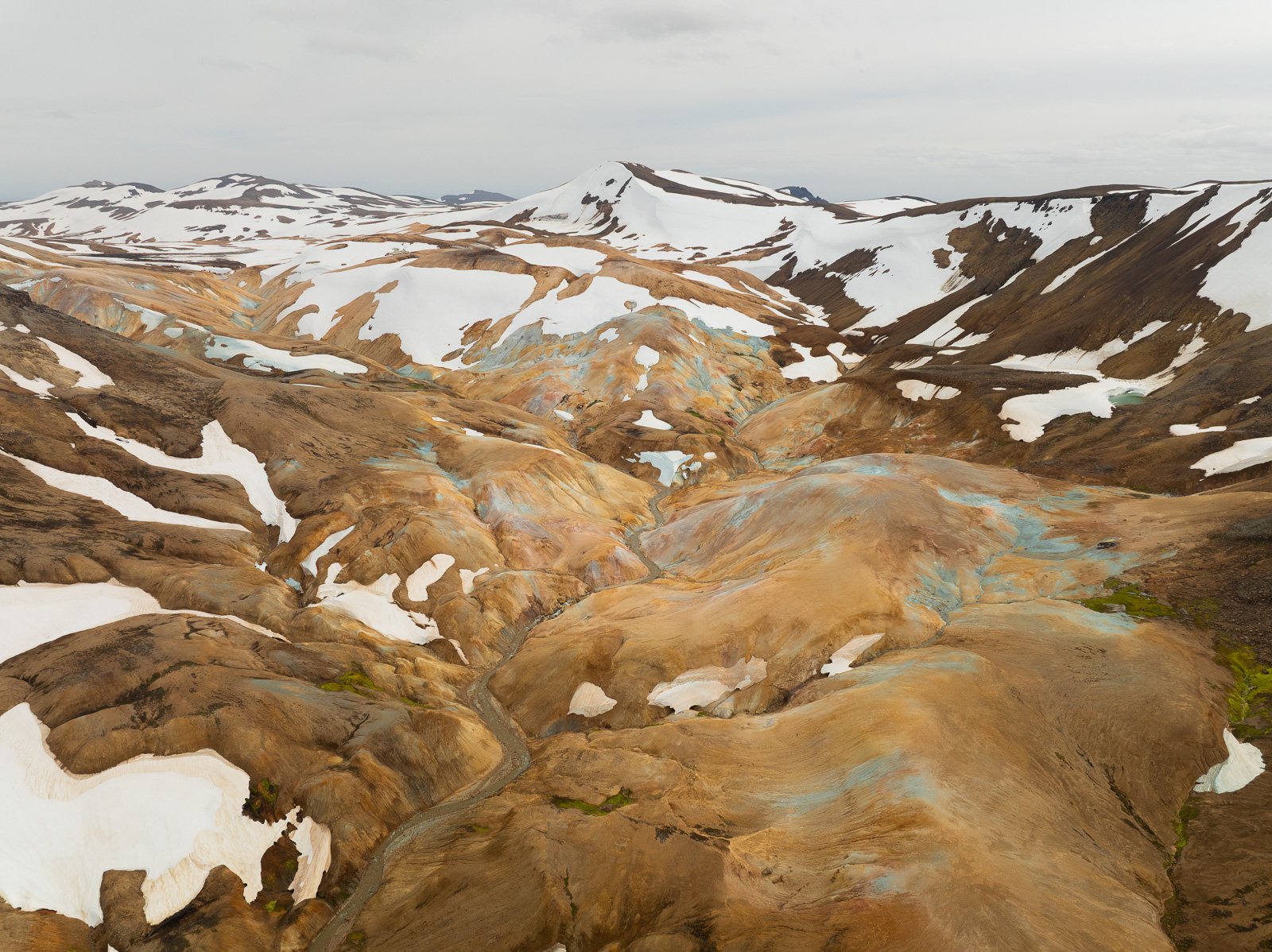
These mountains have incredible orange colors, with fumaroles, bubbling mud pools, hot springs, and tiny glaciers on the slopes of the steaming mountains. The contrast between the white of the ice, the orange of the rhyolite, and the white of the steam is absolutely stunning (I’m totally biased).
🚗 Access : do not rely on Google Maps (use road.is instead) and take road F35 from Gullfoss, then turn right onto road F347 when you see the “Kerlingarfjöll” sign. There are no fords to cross. Once there, you can stay at the Highland Base Kerlingarfjöll or at the campground that is amazing, with hot showers, equipped kitchen and clean toilets.
👉 There are plenty of hikes in the area, but just the view from the parking lot alone blew me away. You can really feel the raw power of nature, the colors of the mountains, the steam rising from the ground, and the smell of sulfur.
Hveravellir : a geothermal oasis in the middle of nowhere
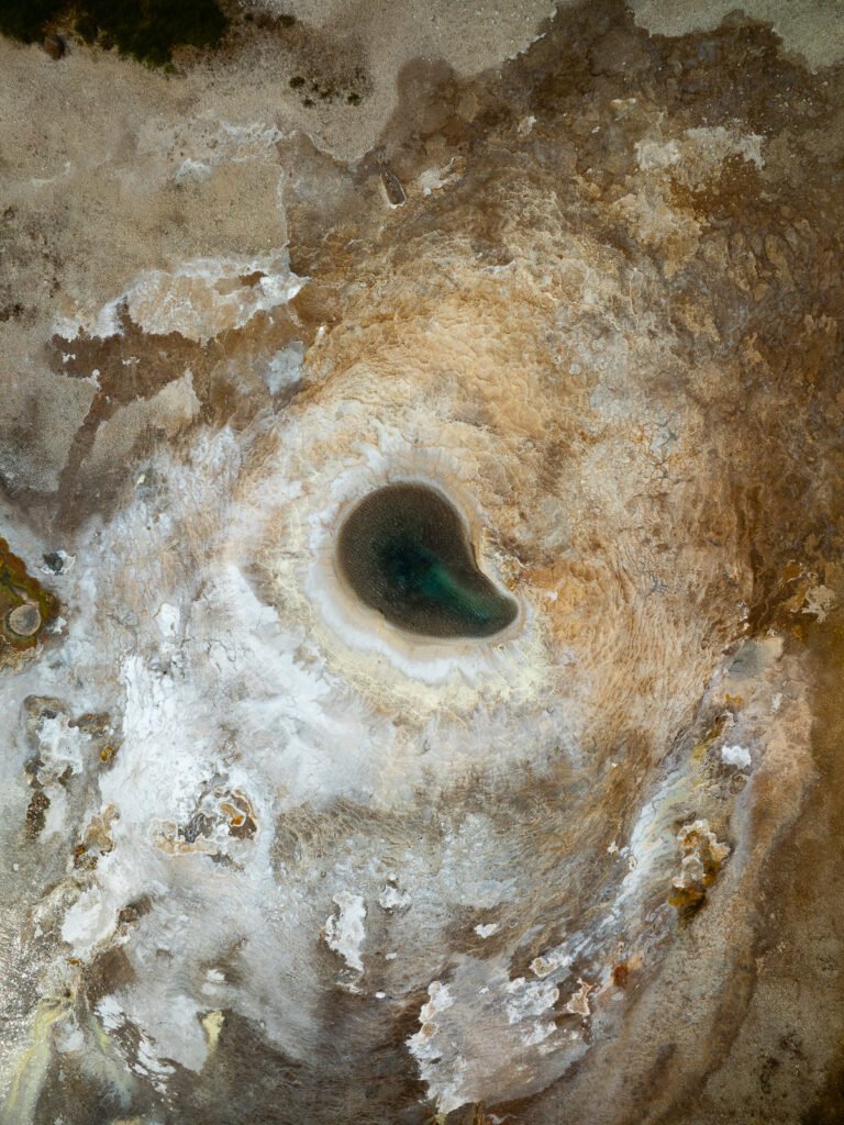
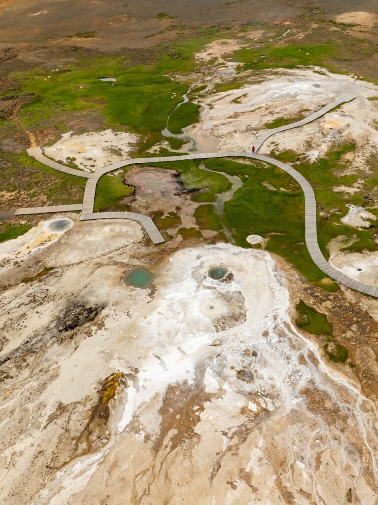
Although slightly less well-known than the neighboring Kerlingarfjöll mountains, Hveravellir is nonetheless one a really cool stop in the Highlands. Here you’ll find blue and white hot springs, fumaroles, mud pots, and above all, a hot spring where you can bathe at +40°C if you dare, with views of the snow-capped mountains in the distance.
🚗 Access : as with Kerlingarfjöll, do not rely on Google Maps (use road.is instead) and take road F35 from Gullfoss, staying on that road the entire way. There are no fords to cross. There is a shelter/campground for overnight stays, clean restrooms, and a small restaurant.
👉 My favorite thing about that place is the sunrise, because the colors are so soft and really stand out against the hot springs.
Lakagígar : the Laki craters
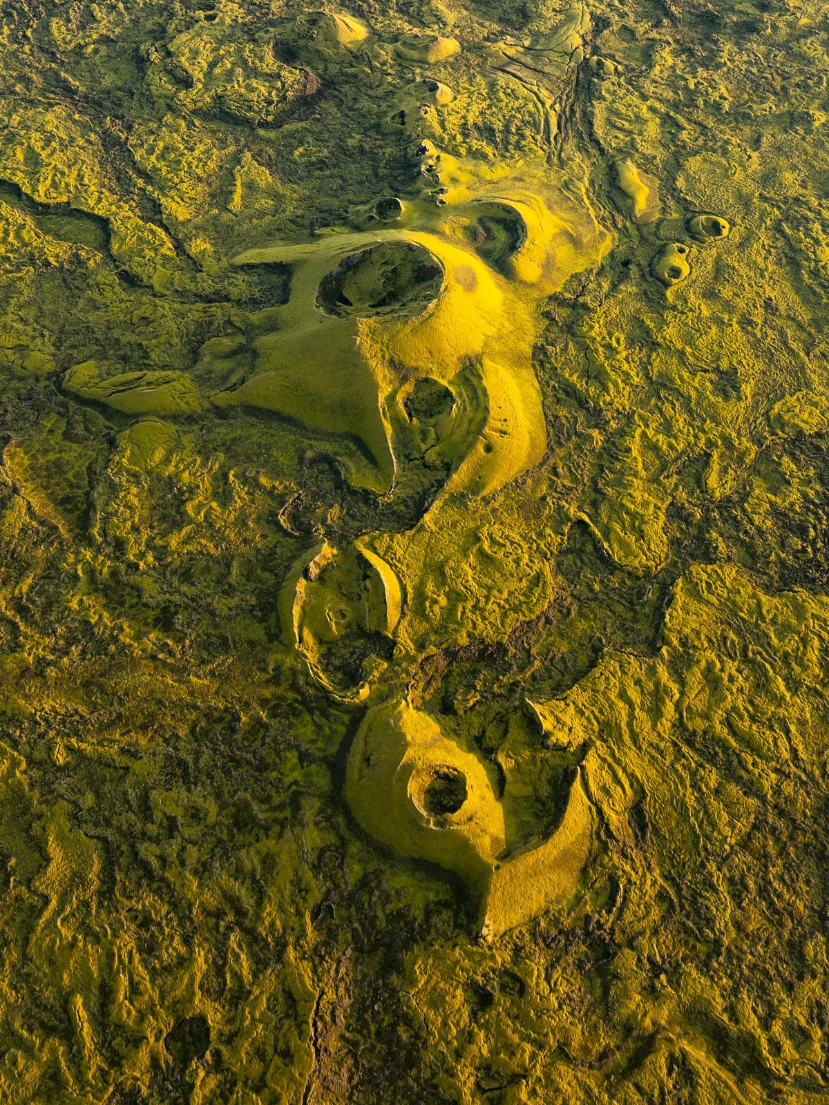
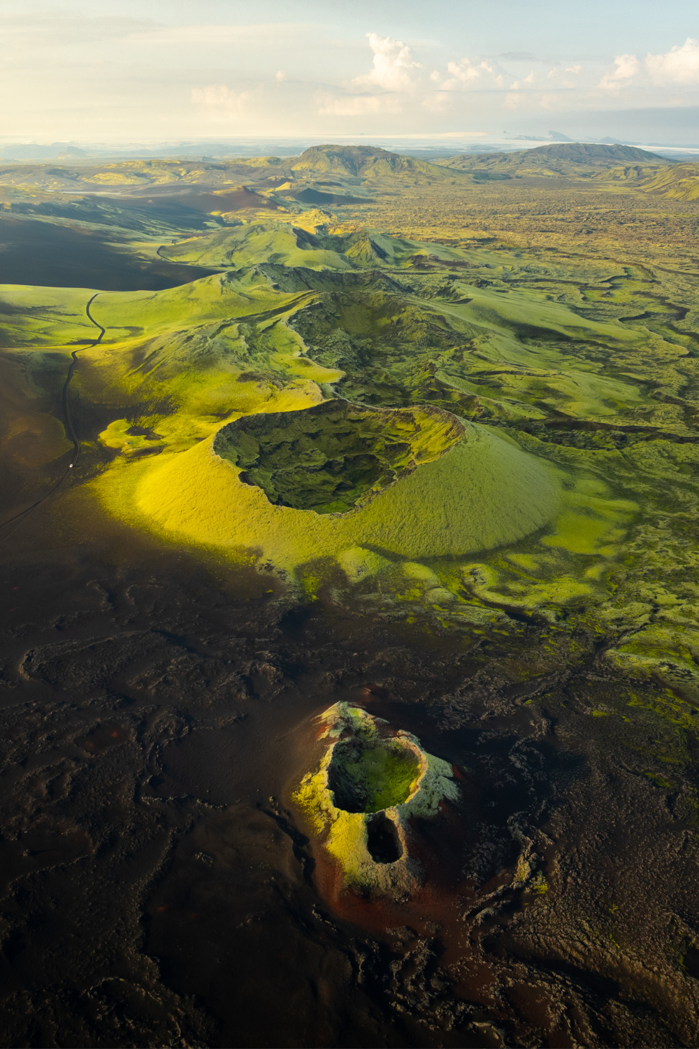
In one of Iceland’s least-visited areas, a row of 135 craters stretches out like a monstrous scar of 27 kilometers. Welcome to Lakagígar (“the Laki craters”), one of the most spectacular yet least-known volcanic sites in the Highlands. It’s definitely my ultimate favorite and top recommendation for those who want to see magical stuff with no crowds.
The history of this place is incredible : an eruption began on June 8th 1783, and a massive 27-kilometer-long fissure opened up on both side of Laki, creating more than a hundred craters and releasing 14 cubic kilometers of lava over nearly eight months. The consequences were catastrophic, three-quarters of Iceland’s sheep and horses were poisoned and died, and nearly 25% of the Icelandic population was decimated by an unprecedented famine. The smokes reached Europe, dimmed the sun and lowered global temperatures by over 1°C. The crops and following winters were terrible in a lot of places across the world because of Laki !
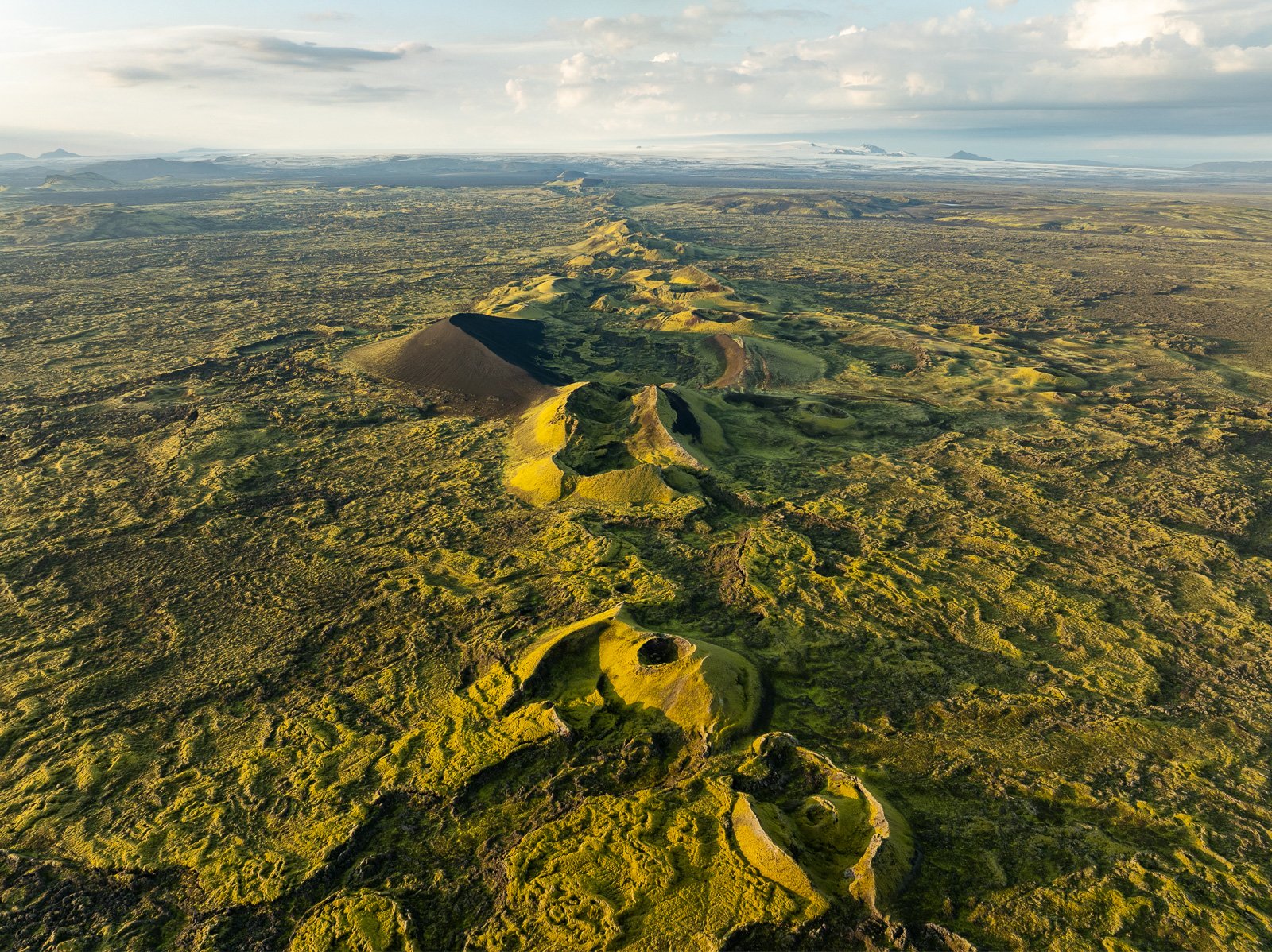
Today, this entire cooled-down hellscape is covered with a carpet of moss of an otherworldly green. The contrast between the violence of history and the softness of the current landscape is beautiful. Once there, several hikes are possible from the parking lot at the foot of Laki : the climb to the summit of the volcano (818m, about 1.5 hours round trip) offers a 360° view of the entire chain of craters. The F207 loop runs closer to the craters and passes by the Tjarnargigur crater lake, around which you can walk a short loop.
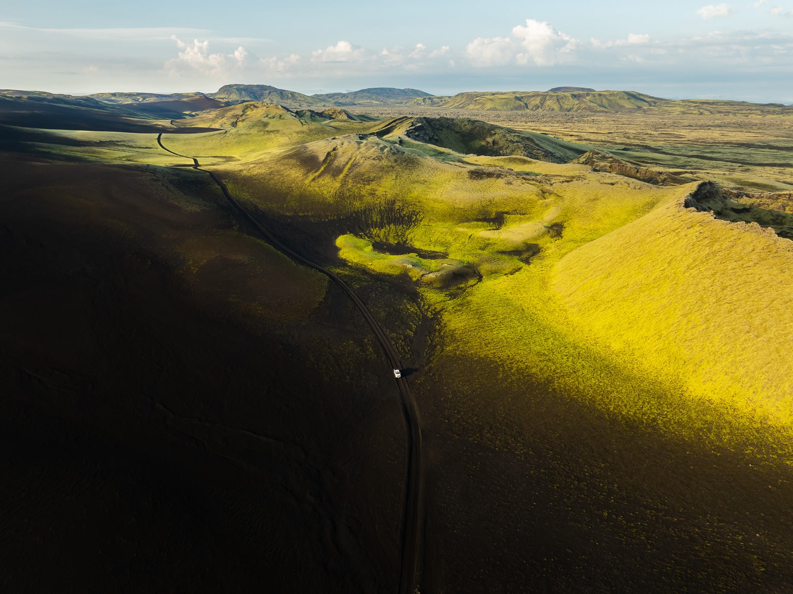
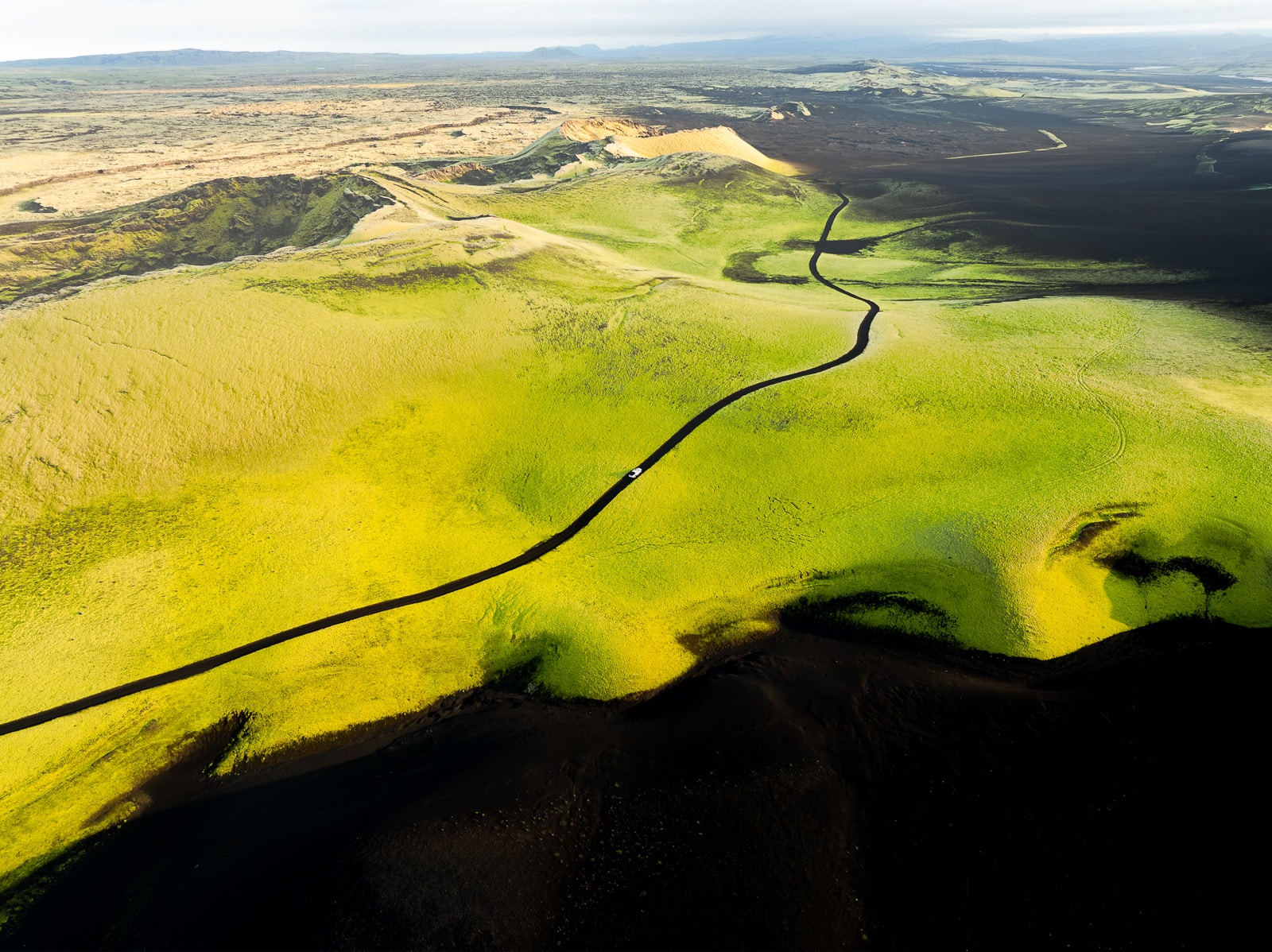
👉 I was lucky enough to spend just under 24 hours there (a whole night, to be exact). The colors are just incredible, and the road itself is incredibly scenic, the green of the moss gives way to the black of the sand, and you really feel like you’re driving on a completely different planet. If it rained in the days leading up to your visit, the moss will be bright green 😉 It’s one of the most beautiful places I’ve ever seen !
🚗 Access : from road 1, take road 206. The F206 track begins after about 15km of paved road. The loop from road 1 takes about 3 hours to complete and involves crossing several fords. A 4×4 vehicle is required. Leave early in the morning when the rivers are generally lower, and check with the rangers before heading out on the track. The Blágil campground is available if you want to spend the night there.
In short : choosing your expedition in the Highlands
| Zone | Difficulty | River crossings | What you can expect |
| Landmannalaugar | Easy, by 208 north | 2 (but possible to stop before) | Colorful mountains, hot springs, hikes |
| Þórsmörk | Difficult, by F249 | Several deep fords | Glacial valley, hikers |
| Kerlingarfjöll | Easy, by 35 | No river crossings | Geothermal activity, fumaroles, mountains with surreal colors |
| Hveravellir | Easy, by 35 + 735 | No river crossings | Geothermal energy, fumaroles, hot springs |
| Lakagígar | Moderate to difficult, by F206 + F207 | Between 2 and 5 fords | Craters covered in green moss |
The Highlands don’t forgive poor preparation, but they generously reward those who take the time to venture there properly equipped. These are the landscapes I talk about most when people ask me what they absolutely must not miss in Iceland!
There are other regions of the Highlands which are even more secrets, and if you need to plan more, I’ve created a 110-pages Iceland Guide, with all the info you need to organize your trip :
- 5 ready-to-go itineraries, with budgets
- All the info on Iceland
- A detailed guide of seasons
- A detailed guide on how to drive in Iceland
- How to ford river crossings in the Highlands
- 3 exclusives photography guides with my tips and secrets
- Tons of discounts to save hundreds of euros = the map and guide are more than reimbursed
And of course my interactive Iceland Photography Map is included, with +500 spots all around Iceland.
By combining the Map and Guide, you get the most powerful tool to explore the country : easily visualize places, optimize your days and enjoy Iceland by being well prepared.
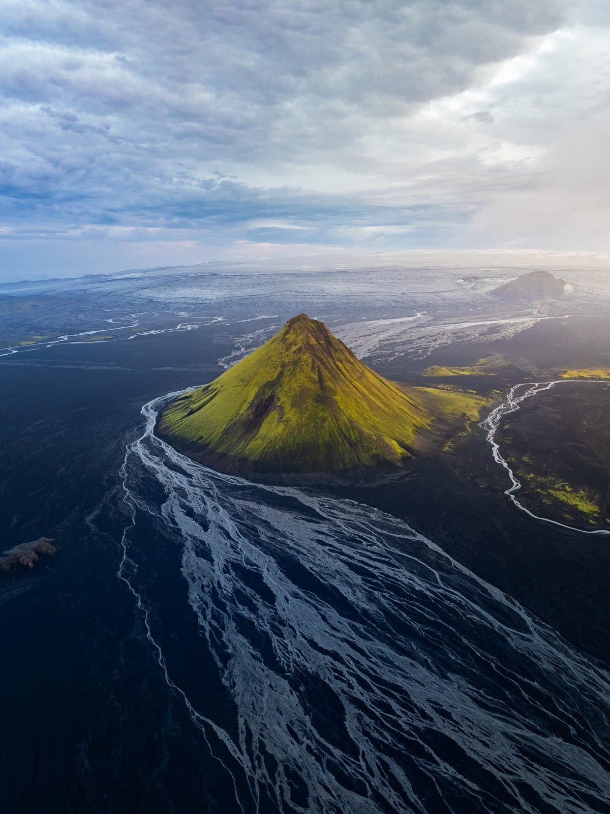
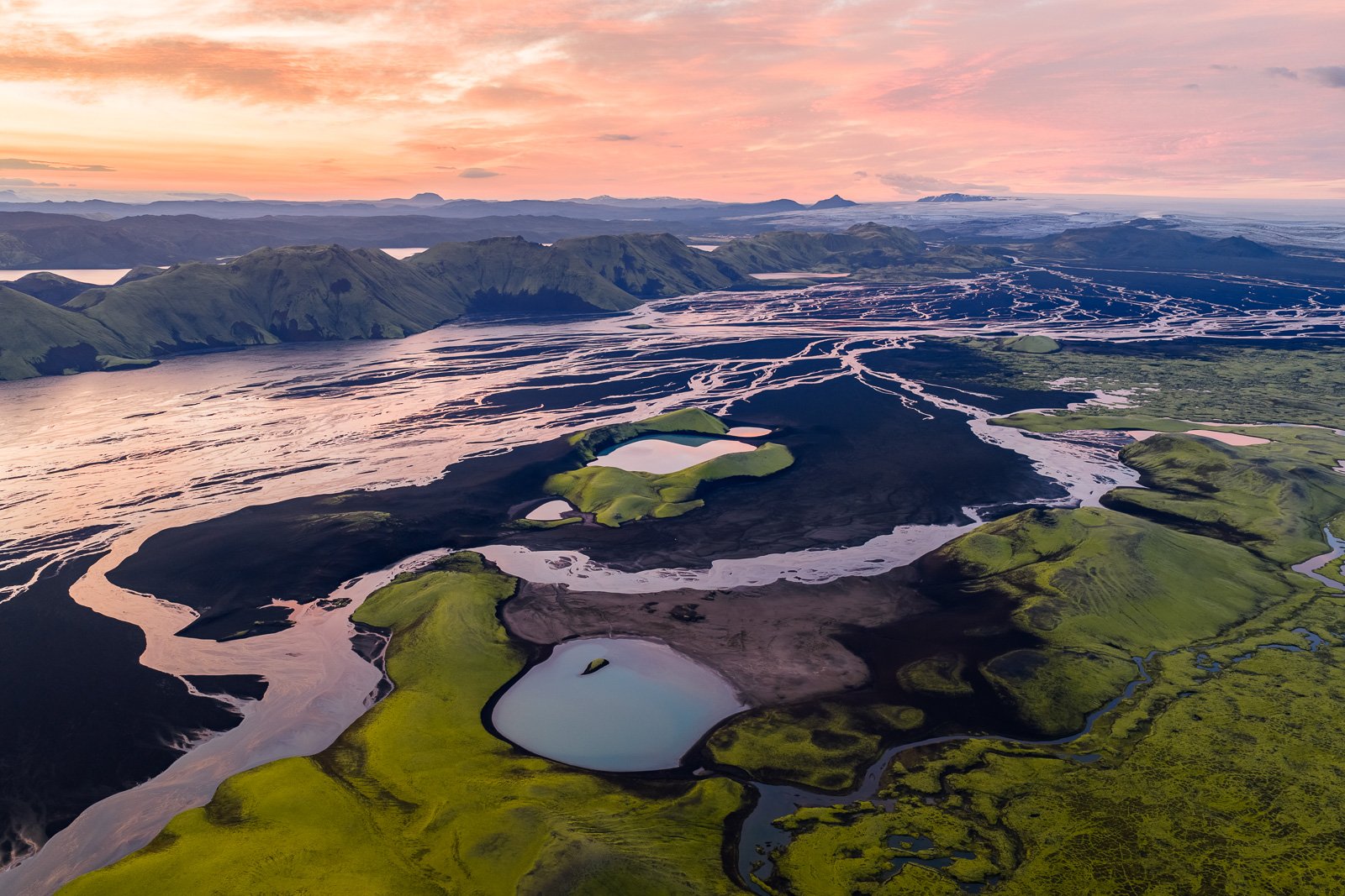
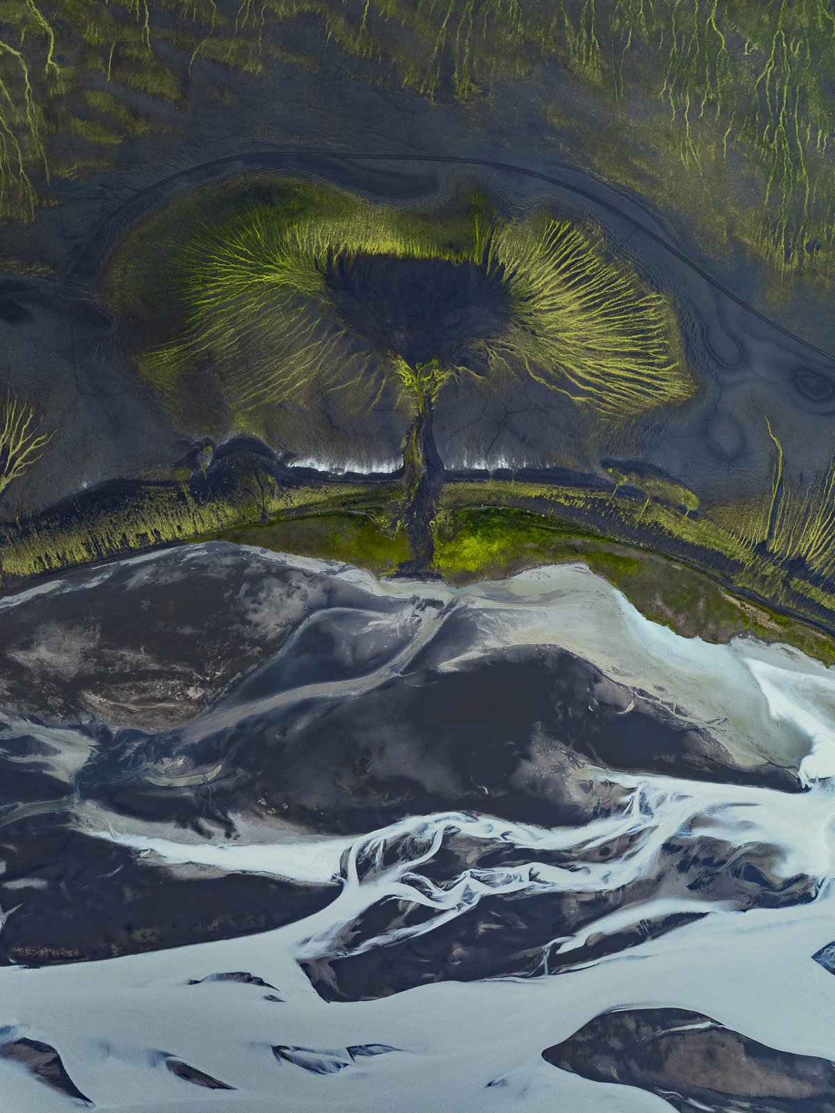
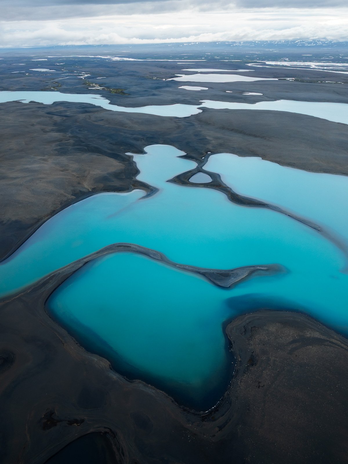
Your trip and your photos could look like this thanks to my map and guide ⤵️

In any case, be sure to prepare well and have a great time,
Marie